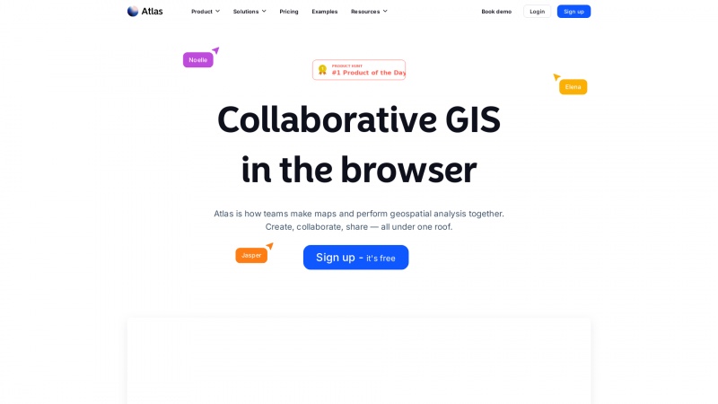
Revolutionize your geospatial analysis with Atlas. Enjoy real-time collaboration, user-friendly tools, and 3D mapping. Sign up for a free trial today!
About atlas
Atlas is a groundbreaking platform that revolutionizes the way teams engage with geospatial data and mapping. Its browser-based interface eliminates the need for cumbersome installations, making it accessible to users of all skill levels. This is a significant advantage, as it democratizes GIS analysis, allowing anyone—from beginners to seasoned experts—to perform complex analyses with ease.
One of the standout features of Atlas is its collaborative capabilities. Teams can work together in real-time, sharing insights and making edits seamlessly. The ability to upload data, annotate maps, and communicate through comments fosters a dynamic environment for teamwork, regardless of geographical barriers. This is particularly beneficial for organizations that rely on collective input for decision-making processes.
The user-friendly design of Atlas is commendable. Tasks that once required extensive training, such as calculating buffers or analyzing travel times, can now be accomplished with just a few clicks. This ease of use is a game-changer for urban planners, environmental analysts, and community organizers who need to visualize data quickly and effectively.
Moreover, the introduction of 3D models adds a new dimension to mapping. Users can upload and manipulate 3D objects, enhancing the visual representation of their projects. This feature is particularly useful for urban development and architectural visualization, allowing stakeholders to grasp complex spatial relationships more intuitively.
Atlas also prioritizes user privacy, employing privacy-friendly analytics that respect user data. This commitment to ethical data practices is increasingly important in today’s digital landscape.
Atlas is an exceptional tool for anyone looking to harness the power of GIS and mapping. Its collaborative features, user-friendly interface, and innovative capabilities make it a must-try for teams aiming to enhance their geospatial analysis. I highly recommend signing up for a free trial to experience the transformative potential of Atlas firsthand.
List of atlas features
- Collaborative GIS
- Real-time editing collaboration
- Data upload
- Comments and annotations
- Browser-based access
- No software installation required
- User-friendly interface for GIS analysis
- Buffer calculation
- Travel time analysis
- Nearest locations finder
- Variety of analysis tools
- Showcase of team examples
- Browse blog and customer stories
- Export public feedback to CSV or JSON
- Community engagement features
- Interactive public data visualization
- Privacy-friendly analytics
- Support resources (Blog
- Help Center
- Documentation)
- Flexible popups and heatmap patterns
- Bookmarks for shortcuts
Leave a review
User Reviews of atlas
No reviews yet.
